A synthetic administrative boundary dataset for a fictional country called "Fakeland", designed for package demonstration, testing, and example workflows.
Format
An sf data frame with 40 rows, containing administrative
boundaries at three levels:
- country
[character]Country name (constant: "Fakeland").- admin1_code
[character]Province-level unique identifier (e.g., "PR_A", "PR_B").- admin1_name
[character]Province name (e.g., "Province A", "Province B").- admin2_code
[character]District-level unique identifier (e.g., "A01", "B03").- admin2_name
[character]District name (e.g., "District 1 of Province A").- geometry
[sfc_POLYGON]Polygon geometry for admin2 level.
Details
Usage in Package Functions
This shapefile is used by:
get_neighbors(): For computing neighboring administrative units based on shared boundaries.
Examples
# \donttest{
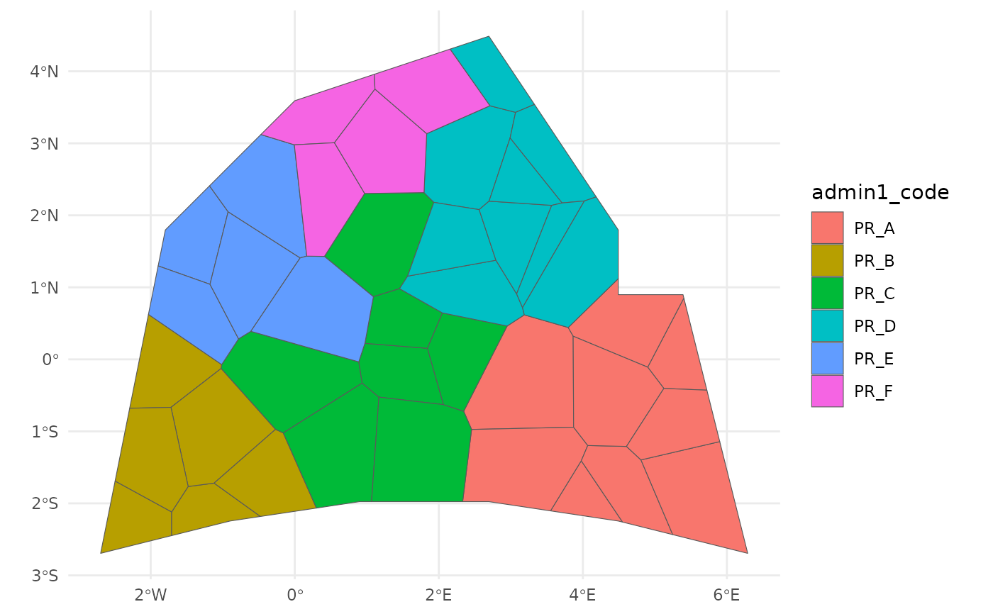
# Plot the administrative boundaries
ggplot2::ggplot(fakeland) +
ggplot2::geom_sf(ggplot2::aes(fill = admin1_code)) +
ggplot2::theme_minimal()
 # }
# }